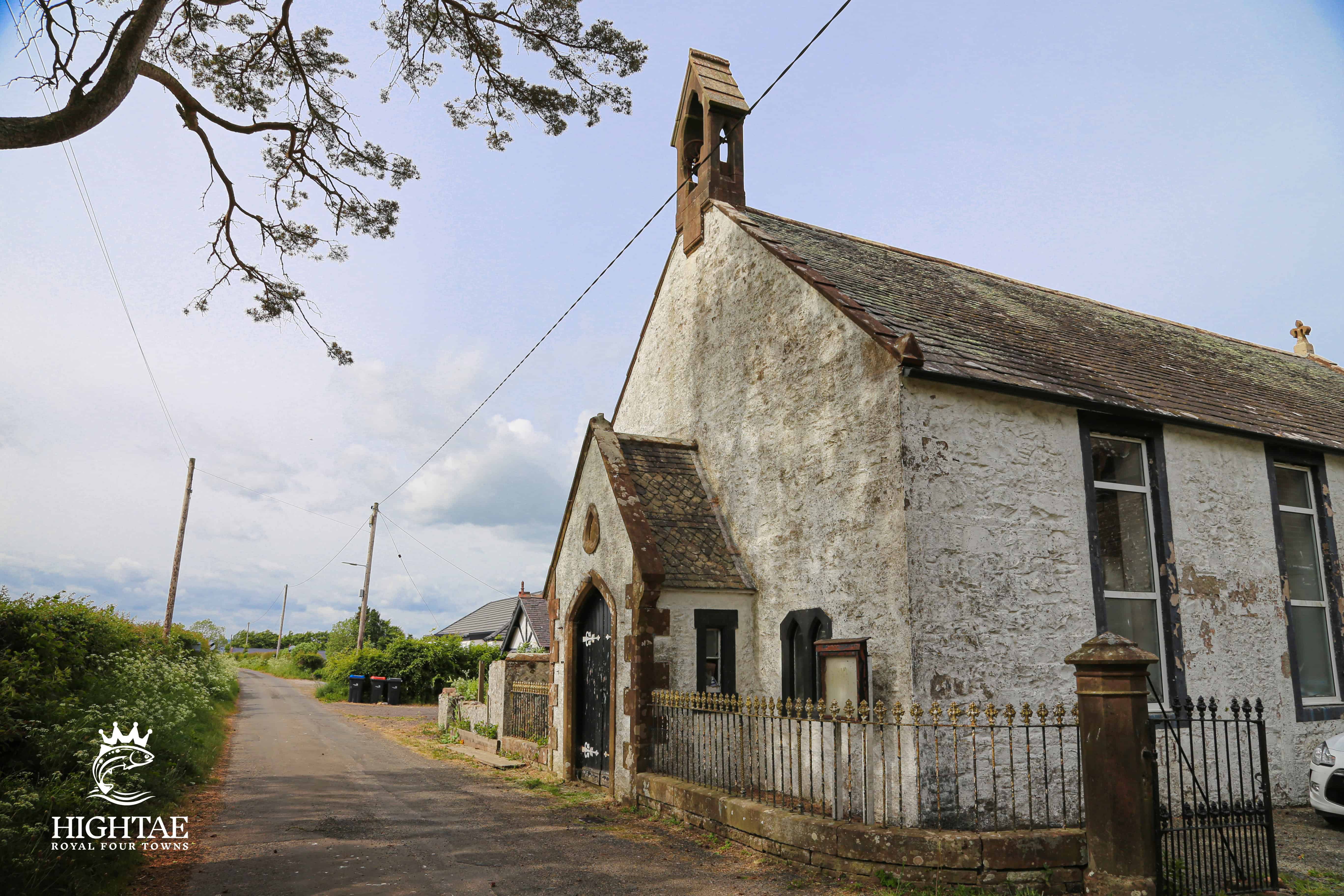
Hightae Former Kirk
Taken
Friday 23 May 2025, 3:54 pm
Photographer
Clarke Duncan
Copyright
Hightae.co.uk
Description
This charming little rural kirk was originally built as a Relief Church in 1796-8 and is now being converted into a dwelling.
Location
Lat: 55.09966667 • Lng: -3.42761667
View on Google Maps (Satellite) →